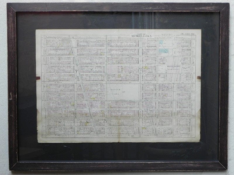
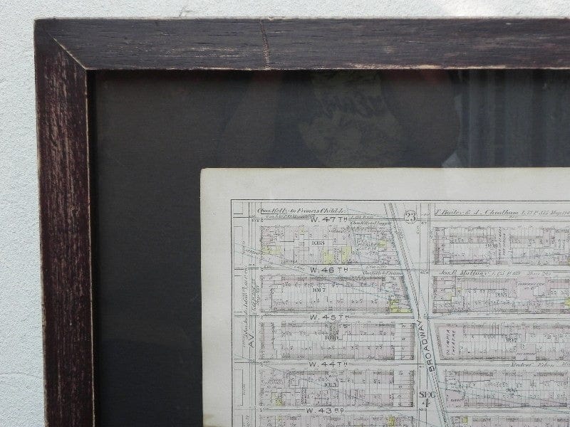
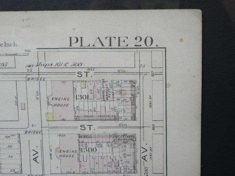
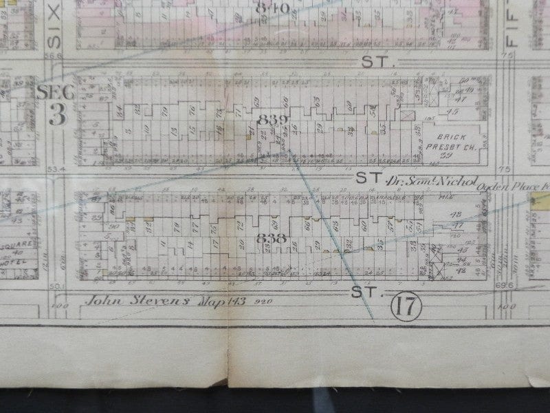
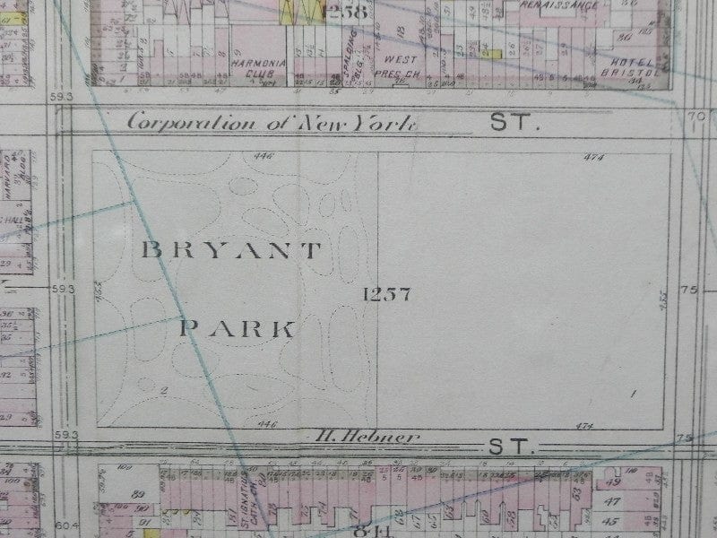
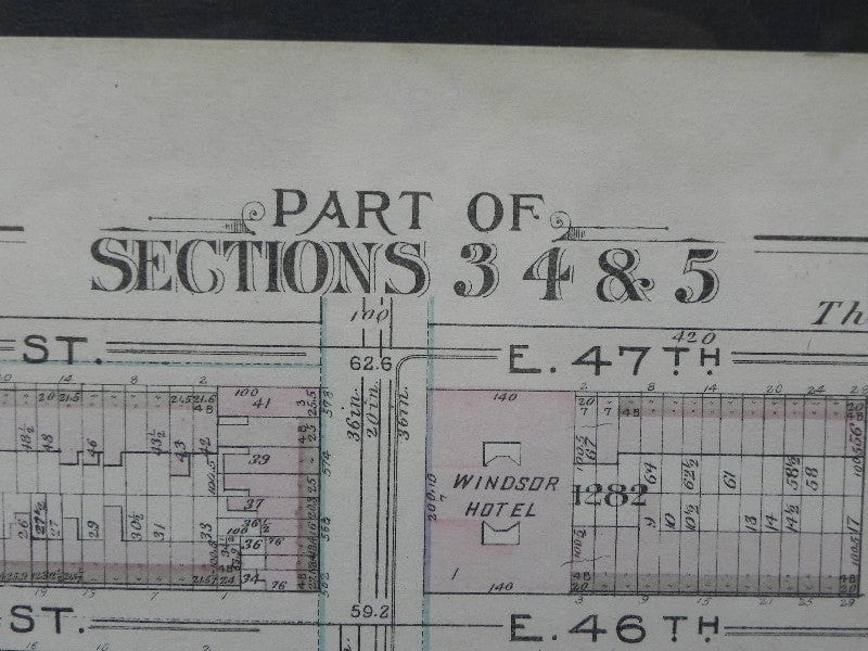
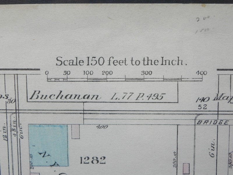
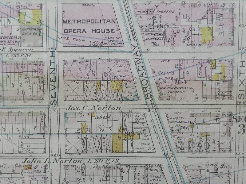
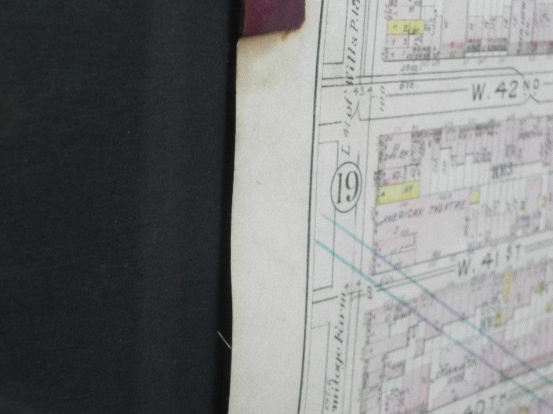
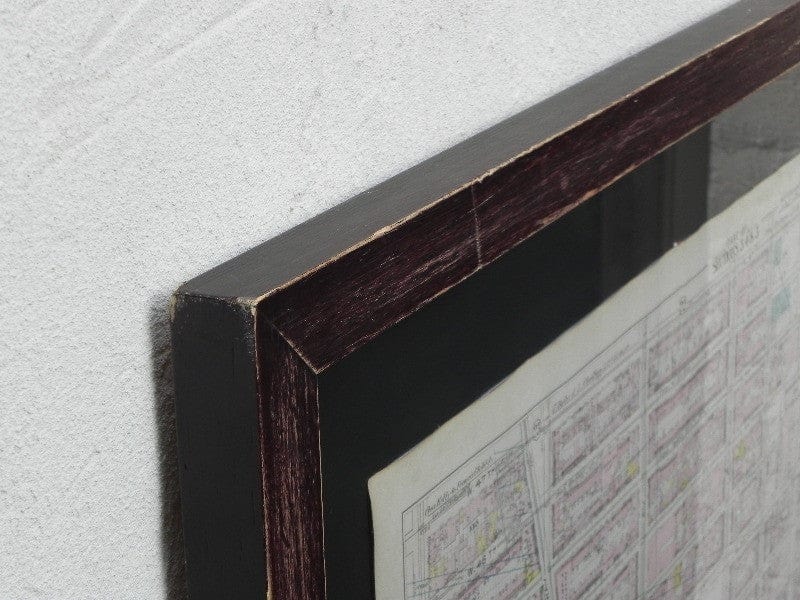
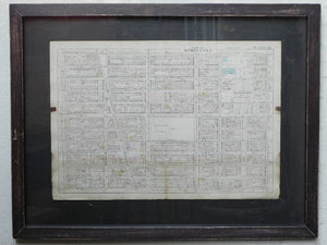
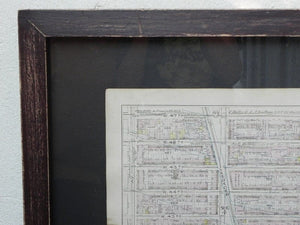
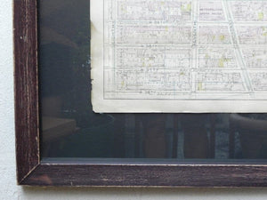
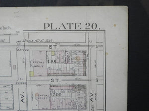
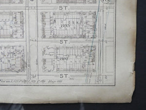
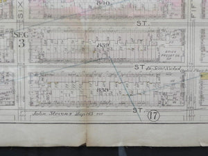
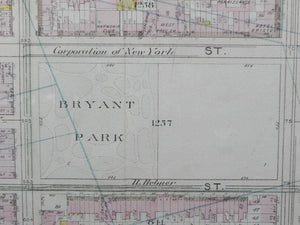
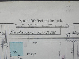
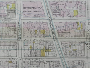
We are quite pleased to offer this large, expertly framed antique Manhattan map radiating out from Bryant Park, an original page from a Bromley Atlas of City of New York from 1897. It covers an impressive swath of the city, from Eighth Ave to Lexington, from 36th St to 47th St. The framing allows the document to float, museum style, and the distressed wood of the frame is in keeping with the age of the map itself. This is an amazing gift for the Manhattan lover in your life, who may just be yourself.
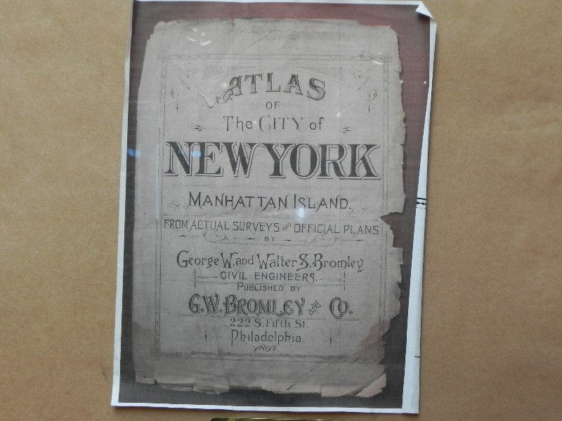
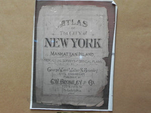
From the cover of the book this was originally in:
Atlas of the City of New York
Manhattan Island
From Actual Surveys & Official Plans
George W. & Walter S. Bromley, Civil Engineers
Published by G.W. Bromley & Co.
222 S. Fifth St.
Philadelphia
1897
43" W x 33" H x 1.5" Deep; map is 32.5" x 22.5
Free Shipping in the US!


